The Pacific Northwest is considered a seismically active area. Geologically speaking, earthquakes are the norm. Still, we haven’t seen a large quake here in a couple decades. That makes understanding our local network of fault lines and actual earthquake risk all the more difficult.
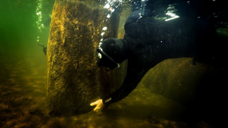
Researchers in the U.S. Geological Survey Earthquake Science Center in Seattle and the University of Arizona are looking much further back in the geologic record to understand our risk. The scientists collected preserved trees believed to have been killed by massive earthquakes along two shallow fault lines in the Puget Sound region from Lake Washington to Price Lake on the Olympic Peninsula (using an underwater chainsaw!).
One tree ring equals one year of growth. Consequently, the rings can be used as a timeline. And in certain years, cosmic radiation spikes are recorded in the rings. The researchers IDed one of these carbon 14 spikes — from A.D. 774-75 — in the tree rings they sampled. They then counted forward to the final ring on the preserved trees.
They found that the trees died between the years 923 and 924, meaning both of the faults triggered earthquakes at about the same time. It would have been one massive 7.8 magnitude earthquake or two slightly smaller quakes in relatively quick succession. The study suggests the two faults are linked in some way, and the resulting earthquake risk from these local, shallow faults is much higher than we thought.


 Science
 Seattle
 University of Arizona
 Puget Sound


