About
Discussions
Recent Activity -
Bio
I have extensive experience in Database Administration and Geographic Information Systems, with 20 years in US Army Geospatial/Topographic Engineering and nearly 10 years providing GIS support to regional and municipal governments.
Military Experiences
May 2000 - Oct 2003
Geospatial Eng Training Developer
Managed training development for the Army Geospatial Engineer discipline. Served as the US Army Engineer School liaison to the National Imagery and Mapping Agency's (NIMA) Defense Mapping School. Developed basic and advanced Terrain Analysis/Geospatial Warrant Officer training. Served as the co-chair of the training working group for the Imagery and Geospatial Information (I/GI) Integrated Concept Team (ICT). Served as the Directorate of Training Development's (DOTD) subject matter expert for topographic, terrain analysis, and geospatial engineer issues.
May 1999 - Apr 2000
Detachment Commander
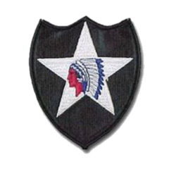
Responsible for 11 Topographic Analysts and over 7 million dollars of property. Provided detailed geospatial data and analysis supporting the 2nd Infantry Division Commander, his battle staff, and subordinate commands. Acquired three new GIS workstations and put them into operation. Tailored graphic and textual geographic information to effectively communicate the impact of the terrain on real-world operations, contingency planning, and exercises. Collected, analyzed, and synthesized a detailed GIS database and ensured its organization and accessibility.
Nov 1996 - May 1999
Detachment Commander
Responsible for the training, health, and welfare of 7 Topographic Analysts and over 1 million dollars of property. Responsible for the collection and maintenance of the I Corps GIS database and the production of textual and graphic products to support I Corps operational contingency planning. Procured additional GIS equipment. Developed MicroDem training and trained Engineer and Intelligence Officers assigned to I Corps and Fort Lewis.
Nov 1994 - May 1996
Detachment Commander
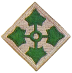
Responsible for 7 Topographic Analysts and over 1 million dollars of property. Provided tailored graphic and textual geographic information to effectively communicate the impact of the terrain on real-world operations, contingency planning, and exercises. Trained intelligence analysts from subordinate commands to use Terrabase and elevation data to perform limited analysis of the military aspects of the terrain. Introduced the use of GIS in a 4th Infantry Division exercise through a partnership with US Army Space Command.
Military Credentials
Certifications
Jul 2007
Geographic Information Systems Professional
Additional Specialization(s)
Security Clearance
None / Expired
Academic Degrees
Academic Degrees


